
961.07 Drone Data Processing with Survey and Mapping
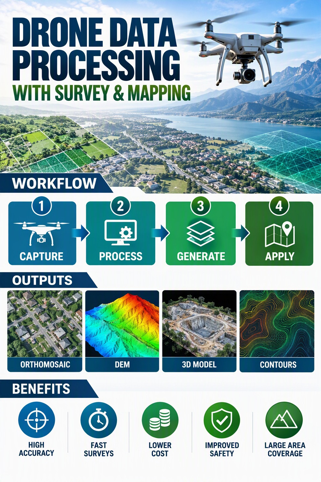
A special course on 'Drone Data Processing with Survey and Mapping' designed for Telangana State Aviation Academy (TSAA), Old Airport Rd, New Bowenpally, Hyderabad, Telangana 500011, Hyderabad. This course is aimed at introducing the fundamental concepts of surveying, the workflow of drone image processing, and LiDAR point cloud processing for deriving geospatial products. The course also includes flight planning and post-processing of drone RGB and LiDAR data to derive useful products through demonstrations using software and tools.
- Course Officer: Y. SUVARDHANA
1008.01 Virtual Activity - Quality Check of Large Scale NTDB at Scale 1:2000
Virtual Activity - Quality Check of Large Scale NTDB at Scale 1:2000 for Survey of India Offices
- Course Officer: VINAY KUMAR GOLLA
1006.01 LiDAR based UAV Survey for 46th ISEA Team
NIGST designed a special course on LiDAR based UAV Survey for 46th ISEA Team to Antarctica at NIGST from 12 to16 October 2026
- Course Officer: NILESH KUMAR
1009.01 Online session on Mosaicking, Radiometric Correction and COG Conversion
One day online session on Mosaicking, Radiometric Correction and COG Conversion on 25-09-2026.
- Course Officer: NAIYAR ALAM
910.01 SPECIAL COURSE No. 910.01- GIS ANALYSIS AND APPLICATIONS
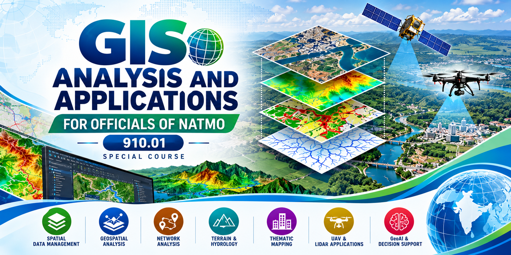
SPECIAL COURSE No. 910.01- GIS ANALYSIS AND APPLICATIONS FOR OFFICIALS OF NATMO
- Course Officer: ANANDA SAGAR MEDIKONDU
1007.01 Survey Camp for IIIT-Hyderabad Students
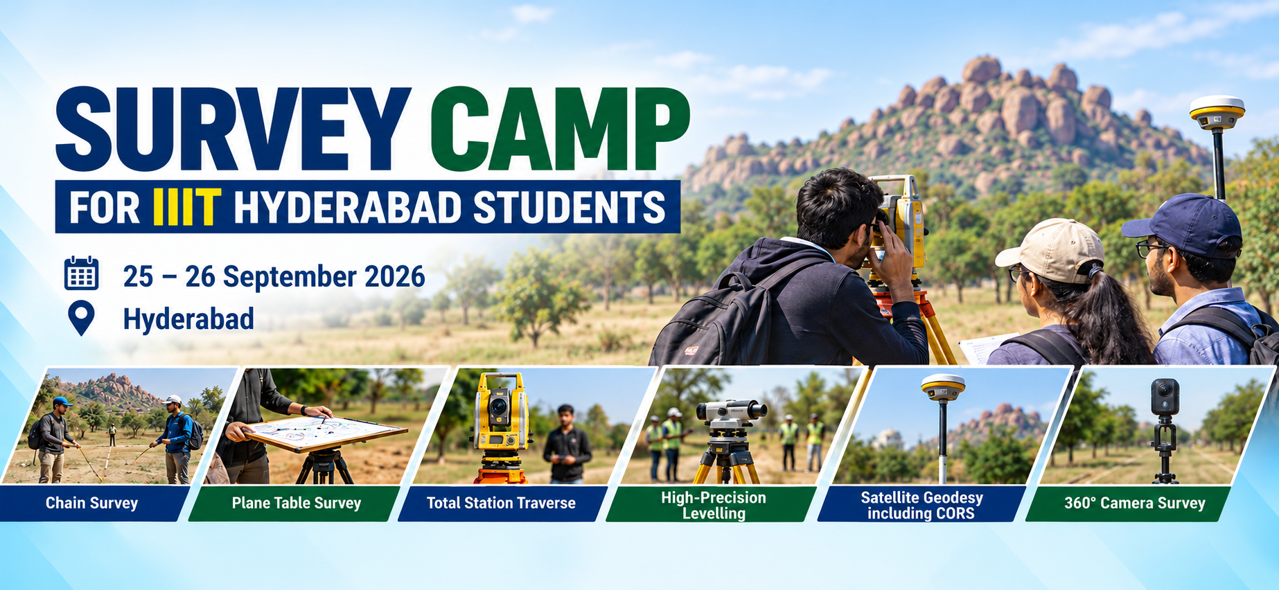
Practical training through field-based exercises in conventional and modern surveying techniques.
- Course Officer: SUNIL DUTT SHARMA
1005.01 Advanced Geodetic Techniques for National Geodetic Infrastructure for OSGOF, Nigeria
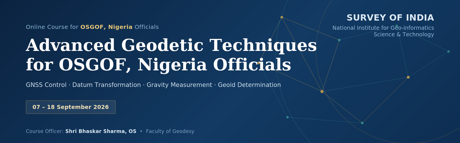
A Two Week special course on Advanced Geodetic Techniques for National Geodetic Infrastructure for OSGOF, Nigeria scheduled from 07-09-2026 to 18-09-2026.
- Course Officer: BHASKAR SHARMA